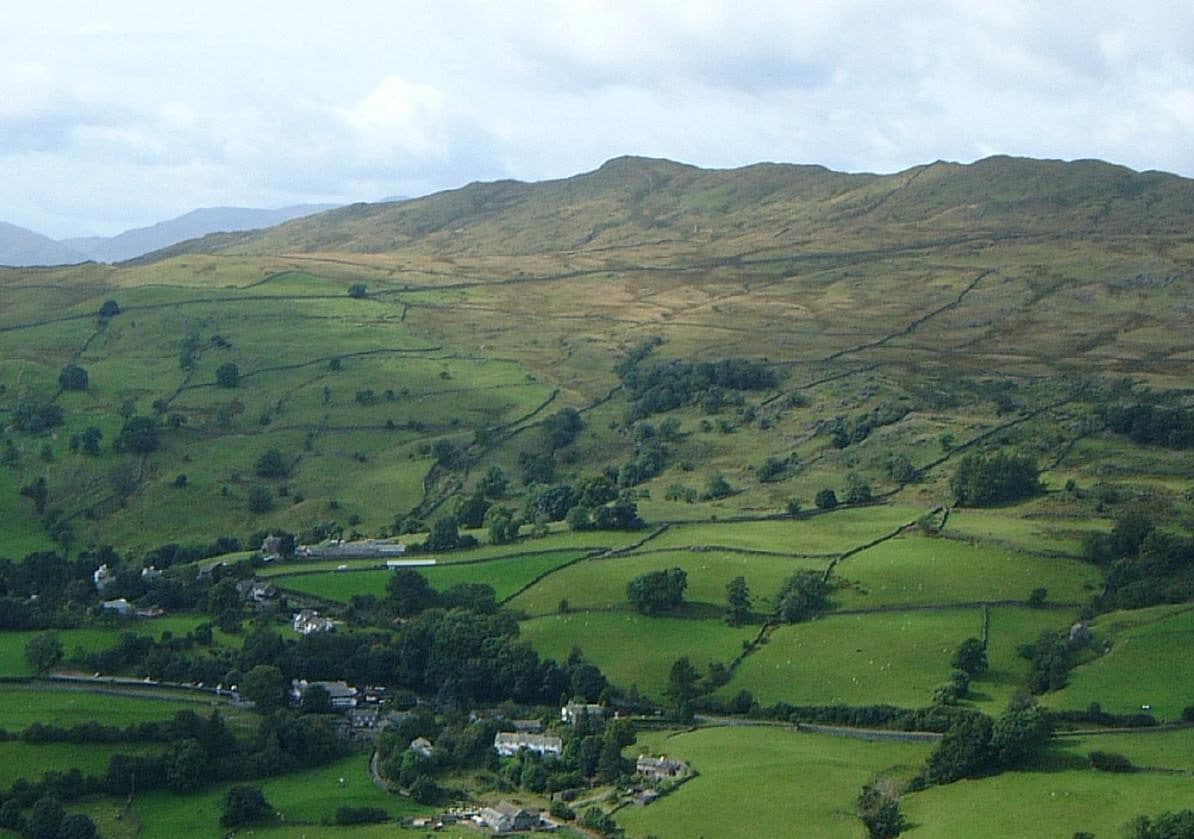
From Ambleside you can walk to twelve Wainwrights without a car: Loughrigg Fell, Wansfell, Red Screes, Middle Dodd, and the eight tops of the Fairfield Horseshoe (Nab Scar, Heron Pike, Great Rigg, Fairfield, Hart Crag, Dove Crag, High Pike and Low Pike). Most are in the Eastern Fells. Loughrigg belongs to the Central Fells and Wansfell to the Far Eastern Fells.
Parking and buses
Rydal Road car park sits on the A591 at the north end of town, and the Fairfield Horseshoe starts beside it. It takes long-stay and multi-day tickets. Miller Field (Miller Bridge) at the south end is bigger and fills later. The WalkLakes route up Wansfell suggests both.
The Stagecoach summer 2026 timetable (23 March to 1 November) has Ambleside well served:
- 555 north to Rydal, Grasmere and Keswick, and south to Windermere and Kendal, about every 30 minutes
- 599 open-top bus between Bowness, Windermere, Ambleside, Rydal and Grasmere, every 20 minutes in the day
- 505 to Hawkshead and Coniston, roughly hourly
- 516 to Elterwater and Dungeon Ghyll in Great Langdale, hourly
The 508 from Windermere crosses Kirkstone Pass every two hours. The pass was shut by a landslip in November 2025 and reopened on 17 July 2026, according to Westmorland and Furness Council.
Short walks from town
Wansfell and Loughrigg Fell are the two half days. WalkLakes gives Wansfell from the town centre, up past Stock Ghyll Force, as 7.6 km with 490 m of ascent, a minimum of 2 hours 20 minutes. The summit that counts as the Wainwright is Baystones, a short walk north-east of the better-known Wansfell Pike. Loughrigg from Ambleside is 10.4 km with 368 m (2 hours 40 minutes). Nab Scar is quickest from Rydal, a few minutes up the road on the 555 or 599: the loop via Alcock Tarn is 8 km and 450 m.
Short walks from Ambleside
| Rank | Fell | Height | Area | Difficulty |
|---|---|---|---|---|
| 178 | Wansfell (Baystones)Far Eastern Fells | 487 m | Far Eastern Fells | Easy |
| 211 | Loughrigg FellCentral Fells | 335 m | Central Fells | Moderate |
| 190 | Nab ScarEastern Fells | 450 m | Eastern Fells | Easy |
Loughrigg has a place in completion stories too. Malcolm Pinder and Ossie Hopkins finished their round there on purpose, because they had started out from Elterwater in 1955, according to the Wainwright Society's magazine Footsteps.
Full days from town
Everything else is a full mountain day. Red Screes and Middle Dodd from the town is 14.2 km with 806 m of ascent on the WalkLakes route, about four hours of walking. If you take the 508 to the Kirkstone Pass Inn instead, Red Screes is only 2.5 km there and back, but the path is steep.
Full days from Ambleside
| Rank | Fell | Height | Area | Difficulty |
|---|---|---|---|---|
| 172 | Low PikeEastern Fells | 508 m | Eastern Fells | Moderate |
| 109 | High Pike [Scandale]Eastern Fells | 656 m | Eastern Fells | Moderate |
| =38 | Dove CragEastern Fells | 792 m | Eastern Fells | Easy |
| 27 | Hart CragEastern Fells | 822 m | Eastern Fells | Moderate |
| 13 | FairfieldEastern Fells | 873 m | Eastern Fells | Moderate |
| 54 | Great RiggEastern Fells | 766 m | Eastern Fells | Easy |
| 127 | Heron PikeEastern Fells | 612 m | Eastern Fells | Moderate |
| 49 | Red ScreesEastern Fells | 776 m | Eastern Fells | Moderate |
| =111 | Middle DoddEastern Fells | 654 m | Eastern Fells | Moderate |
Classic rounds from Ambleside
The Fairfield Horseshoe
This is the walk Ambleside is known for. Walk out of town past Rydal Hall, climb Nab Scar, and follow the western arm north over Heron Pike and Great Rigg to Fairfield. Come back over Hart Crag, Dove Crag, High Pike and Low Pike, and drop into town by Low Sweden Bridge. WalkLakes describes it the other way round, Low Pike first, and gives 16.4 km with 1,080 m of ascent and a minimum of 5 hours 5 minutes. That is eight Wainwrights in a day. WalkLakes warns that Fairfield's top is confusing in mist and you will need a compass bearing to leave it in the right direction.
Wansfell and Troutbeck
A longer loop goes over Wansfell Pike, drops east to Troutbeck and returns through Skelghyll Wood. The WalkLakes version is 10.7 km with 576 m of ascent. Baystones is a short detour from Wansfell Pike, so add it if you are counting.
Red Screes and Scandale
Walk up Scandale past High Sweden Bridge to the top of the pass, cut across to Middle Dodd, then follow the edge to Red Screes and come down its long south ridge into town. It is quieter than the Horseshoe, and Red Screes has a tarn just by the summit, one of the few Wainwrights with summit tarns.
On any of these, carry a map and compass and check the Mountain Weather Information Service (MWIS) forecast first, because the tops can be very different from the town. Grasmere is next door, with its own list: see Wainwrights from Grasmere. For planning a whole round, see how long it takes to walk the Wainwrights.