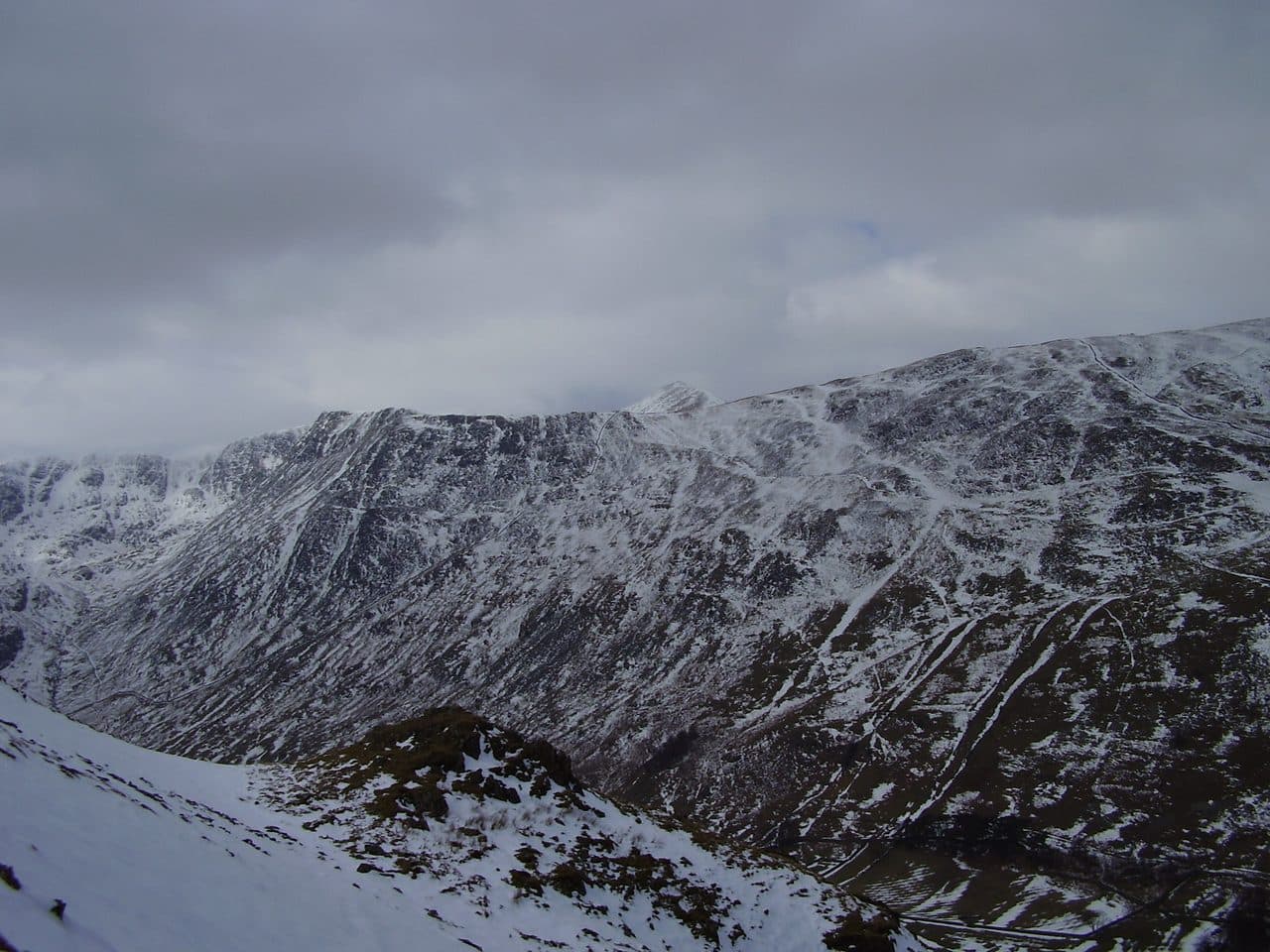
Striding Edge is the Lake District's best known ridge, and the round from Glenridding that crosses it bags three Wainwrights: Birkhouse Moor, Helvellyn and Catstycam. All three are in the Eastern Fells. You climb beside Mires Beck to Birkhouse Moor, cross the wall at the Hole in the Wall, walk Striding Edge to the summit plateau at 950 m, and come down Swirral Edge with a short detour to Catstycam.
The WalkLakes round is 14.1 km with 900 m of ascent, and it gives a minimum walking time of 4 hours 19 minutes before any stops. Mud and Routes measures the same day at 12.94 km with 1,059 m and suggests about 5 hours. Allow a full day.
Striding Edge is a Grade 1 scramble, the easiest grade, on a narrow crest with a long drop either side. WalkLakes rates the terrain at its top grade, very steep, exposed and knife edge, and says people still fall from these ridges and are seriously or fatally hurt.
Helvellyn by Striding Edge, from Glenridding
| Rank | Fell | Height | Area | Difficulty |
|---|---|---|---|---|
| 78 | Birkhouse MoorEastern Fells | 718 m | Eastern Fells | Moderate |
| 3 | HelvellynEastern Fells | 950 m | Eastern Fells | Difficult |
| 10 | CatstycamEastern Fells | 890 m | Eastern Fells | Moderate |
Where to start and park
- The Lake District National Park pay and display car park in the middle of Glenridding (NY 385 169) is the usual start. It is large and has toilets next to it, but it still fills on fine weekends.
- The Ullswater Steamers car park by the pier (NY 386 169) is cheaper in winter.
- Greenside Road, up towards the old lead mine, has a handful of spaces. Don't plan on getting one.
- Patterdale, a mile south, has very little parking. The Patterdale Hotel overflow car park charges and fills early.
The 508 bus runs from Penrith railway station to Glenridding, and in summer the 509 comes in from Keswick. Check the Stagecoach timetable before you go.
Which way round
Nearly everyone goes up Striding Edge and down Swirral Edge, and that is the way WalkLakes describes it. The main reason is the end of Striding Edge, a steep head wall of loose gravel that is much easier to climb than to come down. Swirral Edge is shorter and has no single bad step, so it makes the gentler descent.
The catch is the chimney. Near the far end, the crest drops abruptly and the usual way down is a short chimney on the left. In this direction you down-climb it, and WalkLakes warns it will be hard for dogs and children. Back up a little and an easier gully leads down to a bypass path instead.
Some groups reverse it. A BMC Lakes Area social walk went up Swirral Edge and back by Striding Edge, about 12 km with 850 m of ascent. That puts the chimney on the way up, but you come down the loose head wall instead.
Striding Edge, step by step
The WalkLakes route climbs from Glenridding beside Mires Beck to the wall on Birkhouse Moor and follows it west to the Hole in the Wall, now a step stile. The edge begins at the boulders on Low Spying How. A memorial near the start remembers Robert Dixon. Keep to the crest where you can, and drop to the path on the side when you need to. Use three points of contact where it is exposed. The paths below the crest are not an easy option: WalkLakes says they have their own problems, and one ends in a loose, steep gully it calls quite nasty.
After the chimney comes a rock tower. Go round it, use a shelf, then take the steep, loose gravel path up the head wall onto the plateau. The Gough memorial is just to the right at the top, for Charles Gough, who fell near here in 1805.
Swirral Edge and Catstycam
Walk round the rim to the large cairn at the top of Swirral Edge and turn right. The start is steep and loose. Stay on the left near the crest, keep high above the sloping slabs and down-climb past them below a narrow gap in the rock. Avoid the loose gully on the left that drops into Keppel Cove.
Where the ridge levels out, the path to Red Tarn turns off right. Walk straight on instead and climb the short ridge to Catstycam's small, airy summit. From there you can come straight down the steep east shoulder to Red Tarn Beck, but WalkLakes recommends going back to the col and taking the gravel path beside the beck. It crosses a footbridge, passes the Greenside mine buildings and joins Greenside Road back into the village.
The summits the path skips
- Birkhouse Moor. The true summit is a low pile of stones by the wall, on the side nearest Striding Edge. The path zigzags away from the wall on the climb, so make sure you rejoin it and walk over the top. A second cairn about 400 m north, above The Nab, is not the summit.
- Helvellyn. The highest point is a small rocky knoll a little higher than the trig pillar, near the cross-shaped wall shelter. Lower Man, the bump to the north west, is not a separate Wainwright.
- Catstycam. It is an out-and-back from the foot of Swirral Edge. If you turn down to Red Tarn at the junction, you walk straight past it. Ordnance Survey maps spell it Catstye Cam.
Escape routes
There are few easy ways off Striding Edge itself, so decide before it starts or once you reach the plateau.
- At the Hole in the Wall. If the wind is strong or the rock is wet, this is the place to change plans. A path drops to Red Tarn, and from there you can go back down Red Tarn Beck or take the path up the side of Catstycam without either edge.
- On the plateau, instead of Swirral Edge. Walk north over Lower Man to White Side, 863 m, and take the old pony track that zigzags down beside Keppel Cove to the Greenside mine road. It avoids Swirral Edge altogether and bags White Side in place of Catstycam.
- Down the west side. The pitched path over Browncove Crags drops to Swirls car park on Thirlmere. It has no scrambling but leaves you on the wrong side of the range, a bus ride from Glenridding by the 555 and 509.
Wind, ice and winter
Striding Edge is a fair-weather route. WalkLakes recommends dry rock and a gentle to moderate breeze, and points out that a gust strong enough to unbalance you has real consequences on the crest. Unless you are experienced, avoid both edges in high wind, wet rock or poor visibility.
In winter both edges become winter mountaineering routes. The head wall at the end of Striding Edge holds snow and ice, and cornices build along the eastern rim of the plateau above Red Tarn, including where both edges meet the top. You need an ice axe and crampons, and the skill to use them. In 2018 Patterdale rescuers used crampons and ice axes to reach a couple stranded on Striding Edge, and urged walkers to carry the same kit and know how to use it.
From about December to March, the National Park's fell top assessors climb Helvellyn most days and post the conditions with photos. Read their report and the Mountain Weather Information Service (MWIS) forecast before you set off, and turn round at Birkhouse Moor if the edge looks wrong. The winter Wainwrights guide has the rest.
WalkLakes also rates the route potentially dangerous for dogs.
Shorter ways to bag the same fells
- Catstycam and Birkhouse Moor without the edges. The WalkLakes route goes from Glenridding past Lanty's Tarn, over Birkhouse Moor to Red Tarn and up the side of Catstycam, 13.4 km with 756 m. You never need your hands.
- Helvellyn from Thirlmere, by the pitched path from Swirls. No scrambling, and the most direct way up.
- White Side and Raise. From Glenridding by the Greenside mine road and the Keppel Cove zigzags, about 13.7 km with 776 m on the WalkLakes route.
How it fits a Wainwright round
The round covers three of the twelve Wainwrights you can walk to from Glenridding and Patterdale. The main ridge north and south of Helvellyn, from Raise to Dollywaggon Pike, needs its own day, and the Glenridding and Patterdale guide has the rest. Across Grisedale, the Fairfield Horseshoe bags eight more from Ambleside.
Wainwright scrambles compares Striding Edge with Sharp Edge and with Jack's Rake on the Langdale Pikes, and Wainwrights to avoid in bad weather covers what to do when the edges are out. Carry a map and compass. Upfell is a free iPhone app that keeps your list of bagged fells for you.
Browse all 214 Wainwrights or every guide.