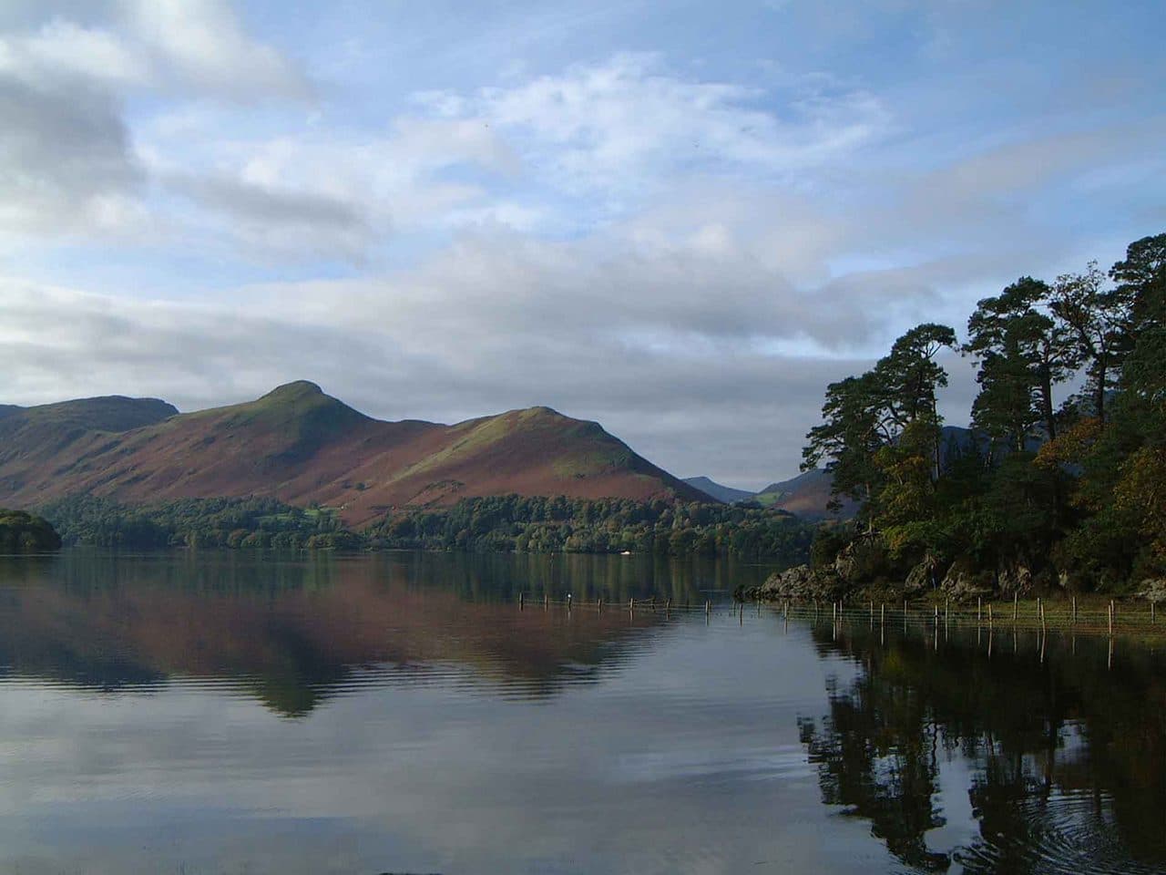
The Newlands Horseshoe is the ring of fells around the upper Newlands valley, west of Derwentwater, and it bags six Wainwrights: Catbells, Maiden Moor, High Spy, Dale Head, Hindscarth and Robinson. All six are in the North Western Fells.
The distance depends on where you start and whether you go over every summit. WalkLakes puts the full horseshoe at 18 km with over 1,100 m of ascent. Walking Englishman's round from Chapel Bridge is 15.1 km with 1,068 m, and it suggests 5 to 6 hours. Wikipedia gives about 15 km.
Wainwright's own favourite version started on Catbells but left out Robinson, coming down Hindscarth's Scope End ridge for the view of Newlands ahead. It is a fine way down, and a poor plan for a bagger. Walk it his way and you will be back for Robinson another day.
The Newlands Horseshoe, clockwise from Catbells
| Rank | Fell | Height | Area | Difficulty |
|---|---|---|---|---|
| 189 | CatbellsNorth Western Fells | 451 m | North Western Fells | Easy |
| 139 | Maiden MoorNorth Western Fells | 575 m | North Western Fells | Moderate |
| 113 | High SpyNorth Western Fells | 653 m | North Western Fells | Moderate |
| 63 | Dale HeadNorth Western Fells | 753 m | North Western Fells | Moderate |
| 73 | HindscarthNorth Western Fells | 727 m | North Western Fells | Moderate |
| =67 | RobinsonNorth Western Fells | 737 m | North Western Fells | Moderate |
Where to start and park
There are two starts, and both are small.
- Chapel Bridge, Little Town (NY 232 194). A small parking area where the farmer takes a small fee in an honesty box. It is the start for Robinson, Hindscarth and Dale Head, and a path climbs east from here to Hause Gate, the col between Catbells and Maiden Moor. Starting here, Catbells is an out-and-back north from Hause Gate.
- Hawse End, on the west shore of Derwentwater. The roadside parking at the foot of Catbells' north ridge is full early on most fine days. There is another small car park at Gutherscale, between Hawse End and Skelgill.
Leaving the car in Keswick is often easier. The Keswick Launch calls at Hawse End jetty and the Honister Rambler has a Catbells stop, both below the north ridge.
Clockwise or anticlockwise
Walking Englishman goes clockwise from Chapel Bridge: up to the eastern ridge first, south over Maiden Moor and High Spy, round the head of the valley over Dale Head and Hindscarth, and down from Robinson. From Hawse End, clockwise starts up the north ridge of Catbells.
The problem is the end. Robinson's north-east ridge, High Snab Bank, is crossed by three rock bands and then a fourth. In the dry, worn rock shows the way and none of them is exposed, but they need hands and get slippery after rain. Walking Englishman came down them clockwise and advises caution in poor visibility. Each band has a way round, and you can skip them by walking down Little Dale instead.
Anticlockwise from Little Town solves that. You climb High Snab Bank to Robinson, and most walkers find the rock bands easier going up than down, then go round over Hindscarth and Dale Head and finish along the eastern ridge. The WalkLakes Robinson half goes this way. The cost is Dale Head's north side, which you then come down: the path to Dalehead Tarn is rough, loose and steep at first, with engineered steps lower down.
The summits the path skips
This is the part that catches baggers out. Two summits sit off the main path, and it is easy to walk past both.
- Maiden Moor. The main path to High Spy doesn't go over the highest point. Near the top, take the right fork, which follows the edge above Newlands and Bull Crag to a small cairn. The top is a level grassy plateau, so walk to the edge.
- Hindscarth. It stands on a spur pushed north off the main ridge between Robinson and Dale Head, and the ridge path skips the summit. Walk out to it and back. The small summit cairn is on grass and gravel, with a much bigger shelter cairn about 100 yards south.
Robinson has a trap of its own. From below, a prominent cairn at the head of the north-east ridge looks like the summit, but it is not. The top is the western of two low rock outcrops on the rounded grass summit.
The tricky bits
- Catbells. Just below the summit, the ridge turns into a band of bare rock. Paths wind up it on easy-angled steps with good holds, and this is the only place on the eastern ridge you might use your hands.
- Robinson's rock bands, above. Take the bypasses in the wet.
- Dale Head's north face. The summit cairn stands on the brink, and the path to or from Dalehead Tarn is steep and loose.
- Old mines. There are mine workings on both flanks of Catbells and at the foot of Hindscarth. Keep clear of spoil heaps and shafts.
- Water. WalkLakes notes there is little until Dalehead Tarn on the Robinson half.
Escape routes
The horseshoe is easy to cut short, because paths drop into Newlands and Borrowdale all along it.
- Hause Gate, between Catbells and Maiden Moor, down to Little Town on the west or Grange on the east.
- Rigg Head, south of High Spy, where a path drops through the disused quarries to Rosthwaite for the 77 or 78 bus.
- Dalehead Tarn, down the Newlands valley past the waterfalls on Newlands Beck to Little Town. This is the return both WalkLakes halves use.
- Dale Head's summit, down the fence line to Honister Pass. The 77 and 77A call at Honister Slate Mine.
- Little Dale, between Robinson and Hindscarth, down to Newlands.
Shorter ways to bag the same fells
WalkLakes suggests splitting the horseshoe into two walks, each with three Wainwrights.
- Catbells, Maiden Moor and High Spy. The WalkLakes half starts near Hawse End, follows the ridge to High Spy, drops to Dalehead Tarn and comes back down the valley: 16 km with 750 m of ascent, a minimum of 4 hours 27 minutes.
- Robinson, Hindscarth and Dale Head. The WalkLakes half from Little Town goes up High Snab Bank first: 14.5 km with 850 m, a minimum of 4 hours 19 minutes.
- Robinson and Hindscarth. The WalkLakes Scope horseshoe goes up Robinson and comes down Scope End, Wainwright's descent: 11.3 km with 795 m.
- Dale Head from Honister. The fence line from the car park by the youth hostel is about 2 km to the top, 45 to 50 minutes for most walkers.
Getting there by bus and boat
A one-way walk works well without a car. From Keswick, take the 77A to the Catbells stop or the Keswick Launch to Hawse End, climb Catbells and walk south along the ridge. Come down to Grange for the 78 Borrowdale bus, or carry on over Dale Head and down to Honister for the 77 or 77A. That bags four of the six Wainwrights with no car at either end. The Stagecoach summer 2026 timetable runs the Honister Rambler from 23 March to 1 November, so check the last bus before you commit. Wainwrights by bus has more rounds like this.
How it fits a Wainwright round
Six fells in a day covers most of the ground between Derwentwater and Buttermere. The fells just outside the horseshoe are the small ones by Newlands Hause and the Coledale group to the north. Knott Rigg and Ard Crags are an easy pair from the hause. Wikipedia notes the horseshoe can be stretched about five miles by carrying on from Robinson over Knott Rigg to Causey Pike. The Coledale Horseshoe picks up the rest of the fells to the north.
Keswick is the natural base, and the Keswick guide covers the launch, the buses and the short fells near town. Borrowdale is the other side of the eastern ridge. For more rounds that string summits together, see Wainwright ridge walks. Upfell is a free iPhone app that keeps your list of bagged fells for you.