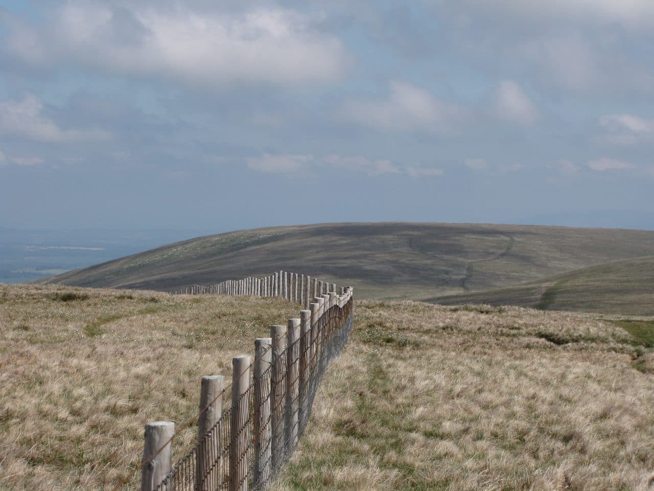
Pooley Bridge is at the northern end of Ullswater. Its bridge of 1764 collapsed in the Storm Desmond floods in December 2015, and a stainless steel replacement opened in October 2020. Three Wainwrights start on foot from the village, Loadpot Hill, Arthur's Pike and Bonscale Pike, all at the northern end of the Far Eastern Fells. The steamer and the summer buses bring another handful within reach, round the east shore at Howtown and across the lake at Aira Force.
Wainwrights starting near Pooley Bridge
| Rank | Fell | Height | Area | Difficulty |
|---|---|---|---|---|
| 103 | Loadpot HillFar Eastern Fells | 671 m | Far Eastern Fells | Easy |
| 157 | Arthur's PikeFar Eastern Fells | 533 m | Far Eastern Fells | Moderate |
| 161 | Bonscale PikeFar Eastern Fells | 524 m | Far Eastern Fells | Moderate |
Parking, boats and buses
There are pay and display car parks in the village, and the pier is about ten minutes' walk from the centre, according to Ullswater Steamers. The steamers link Pooley Bridge with Howtown and Glenridding. The company doesn't provide parking at Pooley Bridge, and there is none at Howtown pier. Near Howtown, WalkLakes points to a few informal spaces on the zigzags up to Martindale Hause and a couple more at the top. The road there is a narrow lane from Pooley Bridge that gets busy on summer weekends, so the boat or the bus is often the better bet.
The Stagecoach summer 2026 timetable (23 March to 1 November) lists three services:
- 508 from Penrith railway station via Pooley Bridge to Aira Force, Glenridding and Patterdale, roughly hourly, with some journeys going on over Kirkstone Pass to Windermere
- 509 between Penrith, Pooley Bridge, Aira Force and Keswick, a few times a day
- UB1 and UB2 Ullswater Hopper, from Aira Force round the foot of the lake through Pooley Bridge. The UB1 goes to Howtown, and its last stop is The Hause a few minutes further on; the UB2 goes to Askham and Lowther Castle.
The Hopper runs on weekends and public holidays from 23 March to 1 November, and on some weekdays in late May and in summer. Check before you rely on it.
Walks from the village
From the village you climb onto the open moor of Moor Divock, which is scattered with tumuli, standing stones and stone circles, and pick up the High Street Roman road. Follow it south along the ridge to Loadpot Hill, the last real height at the north end of the High Street range. Arthur's Pike and Bonscale Pike stand on the edge above Ullswater, a short way west of the Roman road. The Walkingworld walk from Pooley Bridge goes over Barton Fell to Loadpot Hill, drops into Fusedale to Howtown and comes back along the lake shore: about 12 miles with 521 m of ascent. It is grass and moor on the usual lines, with no crags, but the west side drops steeply into Fusedale, so keep to the ridge in poor weather.
Walks from Pooley Bridge
| Rank | Fell | Height | Area | Difficulty |
|---|---|---|---|---|
| 103 | Loadpot HillFar Eastern Fells | 671 m | Far Eastern Fells | Easy |
| 157 | Arthur's PikeFar Eastern Fells | 533 m | Far Eastern Fells | Moderate |
| 161 | Bonscale PikeFar Eastern Fells | 524 m | Far Eastern Fells | Moderate |
By boat or bus to Howtown and Martindale
Howtown, on the east shore, is the best start for the fells above the lake. Hallin Fell is the short one: from Martindale Hause it is less than a kilometre to the square stone column on top. Steel Knotts is a 4 km round from St Peter's Church with 350 m of climbing, and the top, Pikeawassa, is a knife-edged tor that takes a short scramble. Wether Hill is a long walk over grass and peat on the Roman road ridge. go4awalk's route from Howtown over Arthur's Pike, Loadpot Hill and Bonscale Pike is 13.5 km with 608 m of ascent.
From Howtown and Martindale
| Rank | Fell | Height | Area | Difficulty |
|---|---|---|---|---|
| 203 | Hallin FellFar Eastern Fells | 388 m | Far Eastern Fells | Easy |
| 195 | Steel Knotts (Pikeawassa)Far Eastern Fells | 432 m | Far Eastern Fells | Easy |
| =100 | Wether HillFar Eastern Fells | 673 m | Far Eastern Fells | Easy |
Across the lake and the Mell Fells
The 508, 509 and Hopper all stop at Aira Force, where the National Trust car park is the start for Gowbarrow Fell. The circuit climbs past the falls and comes back on a terrace path above the lake. Two small fells are a short drive north of the lake. Little Mell Fell is 1.3 km there and back with 120 m of climbing from the lay-by at The Hause, which holds four or five cars. Great Mell Fell is about 3.5 km there and back with 270 m of ascent from a pull-in by Brownrigg Farm, with room for three or four cars.
Across the lake and the Mell Fells
| Rank | Fell | Height | Area | Difficulty |
|---|---|---|---|---|
| 181 | Gowbarrow FellEastern Fells | 481 m | Eastern Fells | Easy |
| 173 | Little Mell FellEastern Fells | 505 m | Eastern Fells | Easy |
| =154 | Great Mell FellEastern Fells | 537 m | Eastern Fells | Easy |
Classic rounds from Pooley Bridge
Loadpot Hill and the lake shore
Ullswater Steamers suggest taking the boat first and walking back, so you aren't racing the last sailing. Sail from Pooley Bridge to Howtown, climb Arthur's Pike and Bonscale Pike above the pier, carry on to Loadpot Hill, and walk home north along the Roman road over Moor Divock. The Walkingworld route does the same ground the other way, with the lake shore instead of the boat.
The Fusedale round
The WalkLakes Fusedale round starts at Martindale Hause by St Peter's Church. It climbs Steel Knotts, follows the ridge south to the Roman road, then turns north over Wether Hill and Loadpot Hill to Arthur's Pike and Bonscale Pike before dropping back to Fusedale. It is 14.3 km with 733 m of ascent, a minimum of 4 hours 5 minutes, and takes in five Wainwrights.
Hallin Fell and the shore path
Take the steamer to Howtown, climb Hallin Fell, and walk the lakeshore path south through the woods towards Patterdale. It has a little easy scrambling over rock outcrops, and plenty of people walk it for its own sake.
The High Street ridge is broad and featureless in mist, and Wether Hill in particular has many faint paths, so carry a map and compass and check the Mountain Weather Information Service (MWIS) forecast. At the head of the lake, Wainwrights from Glenridding and Patterdale covers Helvellyn and Place Fell. For more short, easy fells, see family-friendly Wainwrights, and for everything you can reach without a car, Wainwrights by bus.