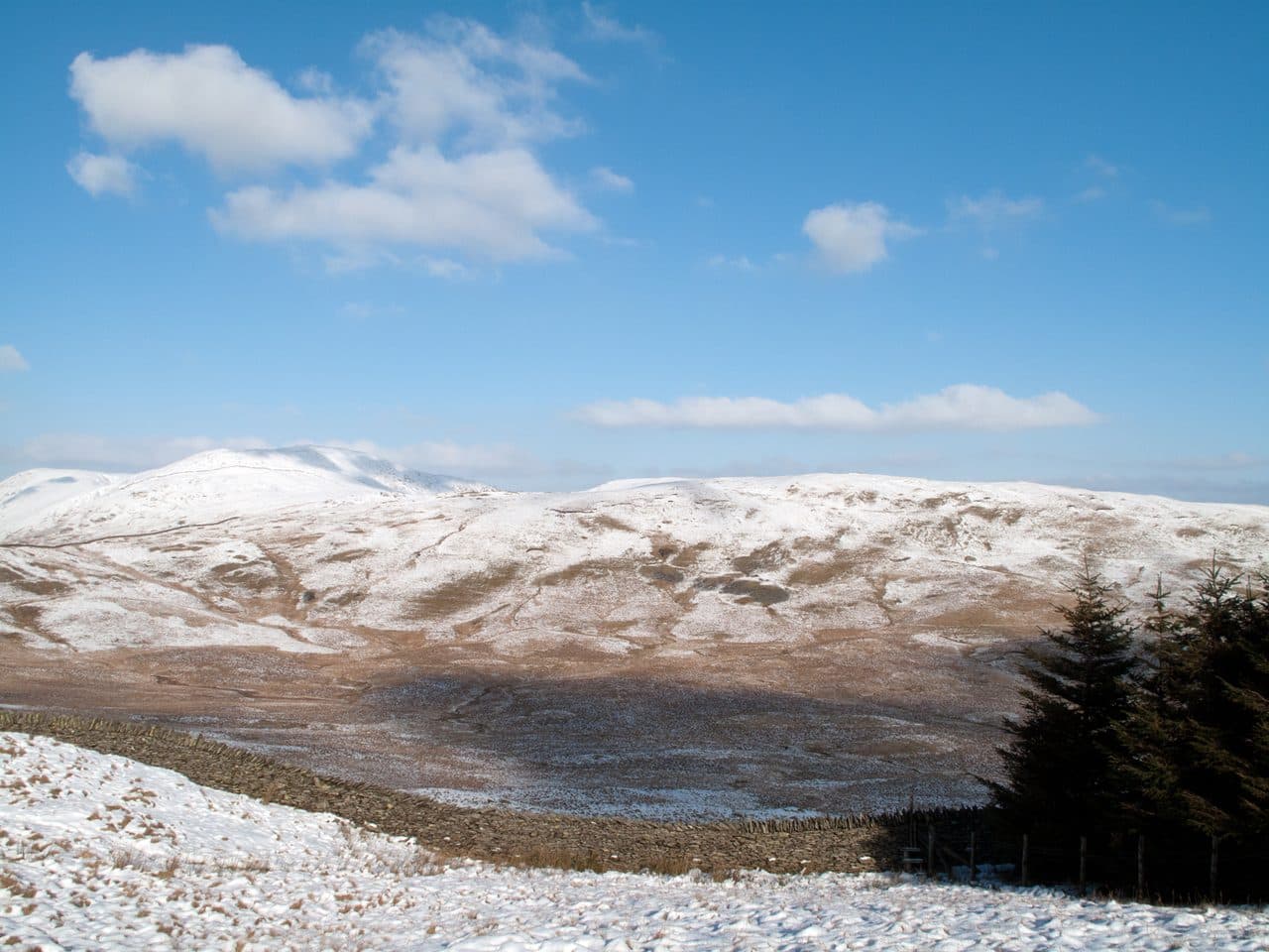
None of the 214 Wainwrights starts in Windermere or Bowness, and it is better to know that before you book. The nearest starts are Troutbeck, about 3 miles (5 km) north of Windermere, and Ambleside at the head of the lake. What the towns do have is transport: Windermere station at the end of the Lakes Line, and buses from outside it to Troutbeck, over Kirkstone Pass, to Ambleside and to Staveley for Kentmere. Use them and fourteen Wainwrights in the Far Eastern Fells and Eastern Fells are an easy day trip.
Orrest Head, right above the town, is worth an hour first. It was the first fell Wainwright climbed, and he wrote of "our first sight of mountains in tumultuous array across glittering waters". It appears in The Outlying Fells of Lakeland rather than the Pictorial Guides, so it doesn't count towards the 214.
Wainwrights closest to Windermere
| Rank | Fell | Height | Area | Difficulty |
|---|---|---|---|---|
| 166 | SallowsFar Eastern Fells | 516 m | Far Eastern Fells | Easy |
| =179 | Sour HowesFar Eastern Fells | 483 m | Far Eastern Fells | Easy |
| 207 | Troutbeck TongueFar Eastern Fells | 364 m | Far Eastern Fells | Moderate |
Buses and trains
The Stagecoach summer 2026 timetable (23 March to 1 November) lists three routes from Windermere station that matter for walkers:
- 508 via Bowness Pier and Troutbeck over Kirkstone Pass to Brotherswater, Patterdale, Glenridding and Penrith, about every two hours
- 599 open-top bus between Bowness, Windermere, Brockhole, Ambleside, Rydal and Grasmere, every 20 minutes in the day
- 555 north to Ambleside, Grasmere and Keswick, and south via Staveley to Kendal, about every half hour
Kirkstone Pass was shut by a landslip in November 2025 and reopened on 17 July 2026, so the 508 is back over the top. The 508 over the pass is summer only, and Wainwrights by bus covers what runs in winter.
From Troutbeck
Troutbeck is a village in the valley of Trout Beck, west of the A592, with two pubs, the Mortal Man and the Queen's Head. Take the 508 or walk up from Windermere. Four Wainwrights start here, and three more on the Ill Bell ridge.
Wansfell goes up Nanny Lane, a walled farm track, onto the open fell. The top that counts is Baystones, about a kilometre north-east of Wansfell Pike. Sour Howes and Sallows go from the Garburn Road, the stony track to Garburn Pass: a round over both tops and back down the track is about 9 km, on grass and heather with some boggy ground by the wall. Troutbeck Tongue is the low ridge splitting the head of the valley. Walk up Ing Lane to Troutbeck Park Farm, which Beatrix Potter bought in 1923, and the climb onto the southern tip takes under half an hour.
Short walks from Troutbeck
| Rank | Fell | Height | Area | Difficulty |
|---|---|---|---|---|
| 178 | Wansfell (Baystones)Far Eastern Fells | 487 m | Far Eastern Fells | Easy |
| =179 | Sour HowesFar Eastern Fells | 483 m | Far Eastern Fells | Easy |
| 166 | SallowsFar Eastern Fells | 516 m | Far Eastern Fells | Easy |
| 207 | Troutbeck TongueFar Eastern Fells | 364 m | Far Eastern Fells | Moderate |
For a full day, carry on from Garburn Pass to Yoke, Ill Bell and Froswick, and come home down Hagg Gill. The High Street Roman road climbs out of Hagg Gill by Scot Rake to Thornthwaite Crag, where the summit cairn is a stone column about 4.3 m high. Cattle graze on Garburn Pass and Yoke all year.
Full days from Troutbeck
| Rank | Fell | Height | Area | Difficulty |
|---|---|---|---|---|
| 85 | YokeFar Eastern Fells | 706 m | Far Eastern Fells | Moderate |
| 60 | Ill BellFar Eastern Fells | 757 m | Far Eastern Fells | Moderate |
| 77 | FroswickFar Eastern Fells | 720 m | Far Eastern Fells | Moderate |
| 44 | Thornthwaite CragFar Eastern Fells | 784 m | Far Eastern Fells | Moderate |
From Kirkstone Pass
The 508 stops at the Kirkstone Pass Inn, at the top of the pass. Red Screes is only 2.5 km there and back from the inn, but the path is steep, and there is a tarn by the summit. Caudale Moor, whose summit is Stony Cove Pike, goes the other way by St Raven's Edge. It is the shortest way up that fell, and the least interesting. With the bus you can walk over the top and down the other side: from Red Screes, the long south ridge drops into Ambleside for the 555 or 599 home.
From Kirkstone Pass
| Rank | Fell | Height | Area | Difficulty |
|---|---|---|---|---|
| 49 | Red ScreesEastern Fells | 776 m | Eastern Fells | Moderate |
| =55 | Caudale Moor (Stony Cove Pike)Far Eastern Fells | 763 m | Far Eastern Fells | Moderate |
Kentmere from Staveley
Kentmere is about 4 miles north of Staveley, which has a 555 stop and a station on the Lakes Line. The Kentmere Rambler bus no longer runs, and parking by the village hall has room for fewer than six cars with an honesty box. So either drive early or take the 555 or the train to Staveley and walk up the valley.
The Kentmere Horseshoe goes up the Garburn Pass to Yoke, along the ridge over Ill Bell, Froswick and Thornthwaite Crag, round by Mardale Ill Bell and Harter Fell, and home over Kentmere Pike and Shipman Knotts. The WalkLakes route from the village hall is 20.7 km with 1,085 m of ascent and a minimum of 5 hours 57 minutes. The walk in from Staveley adds to that, so it is a very long day without a car.
The rest of the Kentmere Horseshoe
| Rank | Fell | Height | Area | Difficulty |
|---|---|---|---|---|
| 59 | Mardale Ill BellFar Eastern Fells | 760 m | Far Eastern Fells | Moderate |
| 47 | Harter Fell [Mardale]Far Eastern Fells | 779 m | Far Eastern Fells | Moderate |
| 72 | Kentmere PikeFar Eastern Fells | 730 m | Far Eastern Fells | Easy |
| 133 | Shipman KnottsFar Eastern Fells | 587 m | Far Eastern Fells | Easy |
Via Ambleside
The 555 and 599 reach Ambleside in about a quarter of an hour. From there, Wansfell by Stockghyll Force is 7.6 km with 490 m of ascent, and the eight tops of the Fairfield Horseshoe start at the Rydal Road car park at the north end of town. Wainwrights from Ambleside has the full list.
Classic rounds
Wansfell from Ambleside to Troutbeck
Climb Wansfell Pike from Ambleside past Stockghyll Force, walk the wall north-east to Baystones, drop down Nanny Lane to Troutbeck, and catch the 508 back to Windermere. The pubs in Troutbeck are on the way.
The Troutbeck round
From Troutbeck, go over Sour Howes and Sallows to Garburn Pass, north over Yoke, Ill Bell and Froswick, and back down Hagg Gill. Add Troutbeck Tongue at the end if you have the legs. It covers the western arm of the Kentmere Horseshoe without the drive to Kentmere.
On any of these, take a map and compass and check the Mountain Weather Information Service (MWIS) forecast before you go. The Ill Bell ridge is narrow in places, with steep coves on the Kentmere side. For other gentle starts, see Wainwrights for beginners, and for the other towns with fells on the doorstep, Wainwrights from Keswick and Wainwrights from Grasmere.