Western Fells · Book 7
Starling Dodd
Starling Dodd is a Wainwright, one of the 214 Lake District fells in Alfred Wainwright’s Pictorial Guides. At 633 m (2,077 ft) it is the joint 121st highest of the 214 and the 18th highest in the Western Fells.
- Height
- 633 m
- 2,077 ft
- Rank
- =121
- of 214
- In area
- 18
- of 33
- Difficulty
- Easy
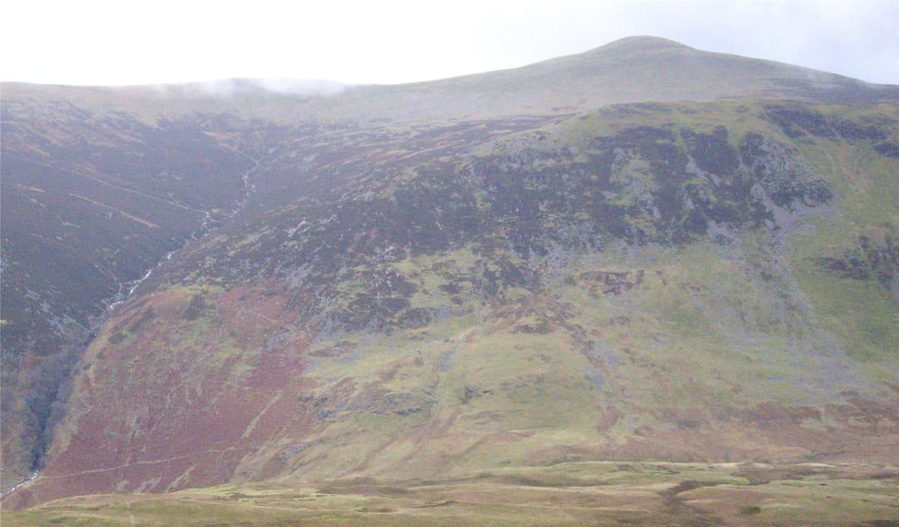
Photo: Stirzy via Wikimedia Commons
About Starling Dodd
A quiet, grassy dome on the ridge between Great Borne and Red Pike, above Ennerdale. Gentle moorland walking leads to a summit cairn built partly from old fence posts. Pair it with Great Borne or Red Pike for a longer day.
Starling Dodd was the last fell Wainwright climbed for his Pictorial Guides. Walk Lakes approaches it from the Bowness Knott car park, at the end of the public road along Ennerdale Water (NY 109 153). The roads in are narrow and twisting and the car park is small, so arrive early in the holidays. Walk back along the road to Rake Beck, follow the beck up through bracken, and climb steeply to Herdus and on to Great Borne, which has a trig pillar and a wind shelter. From there a grassy ridge runs east over Little Dodd to Starling Dodd.
The return drops south from Little Dodd down a heathery gully through a gap in the conifer plantations to the Ennerdale forest track. The loop is 12.4 km with about 730 m of ascent. There are a few rocky steps and some loose scree on the way up, and the descent gully is awkward in bad weather.
Other routes come from Loweswater through marshy Mosedale and up Red Gill, or from Buttermere or Ennerdale over the boggy Floutern Pass. Walking along the ridge from Red Pike or Great Borne is probably more common.
Fence-post cairns
The top is a rounded grassy dome. Its old cairn is reinforced with rusting iron posts from the Ennerdale Fence, and a newer cairn nearby is made entirely of metal. Little Dodd has a fence-post cairn too. Ennerdale Water fills the view south, with Pillar and its neighbours beyond, and you can see parts of Crummock Water and Loweswater, with the North Western Fells across Crummock.
There was iron mining on the steep northern slopes until 1877, and one level can still be seen near Scale Force.
In winter
The return gully from Little Dodd through the gap in the plantations is steep and slippery in wet or frozen conditions. After it comes a long walk out along the Ennerdale forest track to Bowness Knott, so leave time for it in short daylight.
- Quiet & Remote
- Dog Friendly
Sources: Wikipedia: Starling Dodd, Walk Lakes: Great Borne and Starling Dodd above Ennerdale. Updated .
Summit
- OS grid ref
- NY 142 157
- Latitude
- 54.52971° N
- Longitude
- 3.32718° W
- Area
- Western Fells
Walking up Starling Dodd
The nearest car park on foot is Bowness Knott Car Park, 4.6 km (2.8 miles) from the summit along mapped paths. Directions to the car park
Route from Bowness Knott Car Park
- Distance
- 4.6 km
- 2.8 miles, one way
- Ascent
- 614 m
- Total climb to the summit
- Time up
- 1 h 51 min
- Allow 1 to 3 hours
Times use Naismith’s rule, 5 km/h on the flat plus extra time for the climb, with Langmuir’s corrections. It’s a rule of thumb for the way up only, so add stops, weather and the walk back down.
The route follows paths mapped by OpenStreetMap contributors and isn’t a guided line. Check the mountain forecast before you go and carry a map and compass.
Starling Dodd questions
Is Starling Dodd a Wainwright?
How high is Starling Dodd?
Where do you park for Starling Dodd?
How long does it take to climb Starling Dodd?
How hard is Starling Dodd?
Which Wainwrights are near Starling Dodd?
What is the grid reference for the summit of Starling Dodd?
Often walked with Starling Dodd
Fells people usually take in on the same day.
Starling Dodd in our guides
Wainwrights near Starling Dodd
Straight-line distance and direction from the summit.
 Red Pike [Buttermere]755 m1.9 km E
 Great Borne616 m1.9 km W
 Hen Comb509 m2.6 km NW
 High Stile806 m2.7 km E
 Mellbreak (south top)512 m2.9 km N
 Rannerdale Knotts355 m3.5 km NE
More in the Western Fells
- Great Gable899 m
- Pillar892 m
- Scoat Fell841 m
- Red Pike [Wasdale]826 m
- Steeple819 m
- High Stile806 m
- Kirk Fell802 m
- Green Gable801 m
- Haycock797 m
- Red Pike [Buttermere]755 m
- High Crag744 m
- Brandreth715 m
- Caw Fell697 m
- Grey Knotts697 m
- Seatallan692 m
- Fleetwith Pike649 m
- Base Brown646 m
- Yewbarrow627 m
- Great Borne616 m
- Haystacks597 m
- Middle Fell582 m
- Blake Fell573 m
- Lank Rigg541 m
- Gavel Fell526 m
- Crag Fell523 m
- Mellbreak (south top)512 m
- Hen Comb509 m
- Grike488 m
- Burnbank Fell475 m
- Buckbarrow423 m
- Low Fell423 m
- Fellbarrow416 m
Bag Starling Dodd with Upfell
Reach the summit and capture Starling Dodd, even with no signal. It goes on your round of the 214 with its own patch.
Coming soon to theApp Store